Walking the Kamo River: Routes from Pontocho
By the Pontocho Park Guide team · Last reviewed · 7 min read
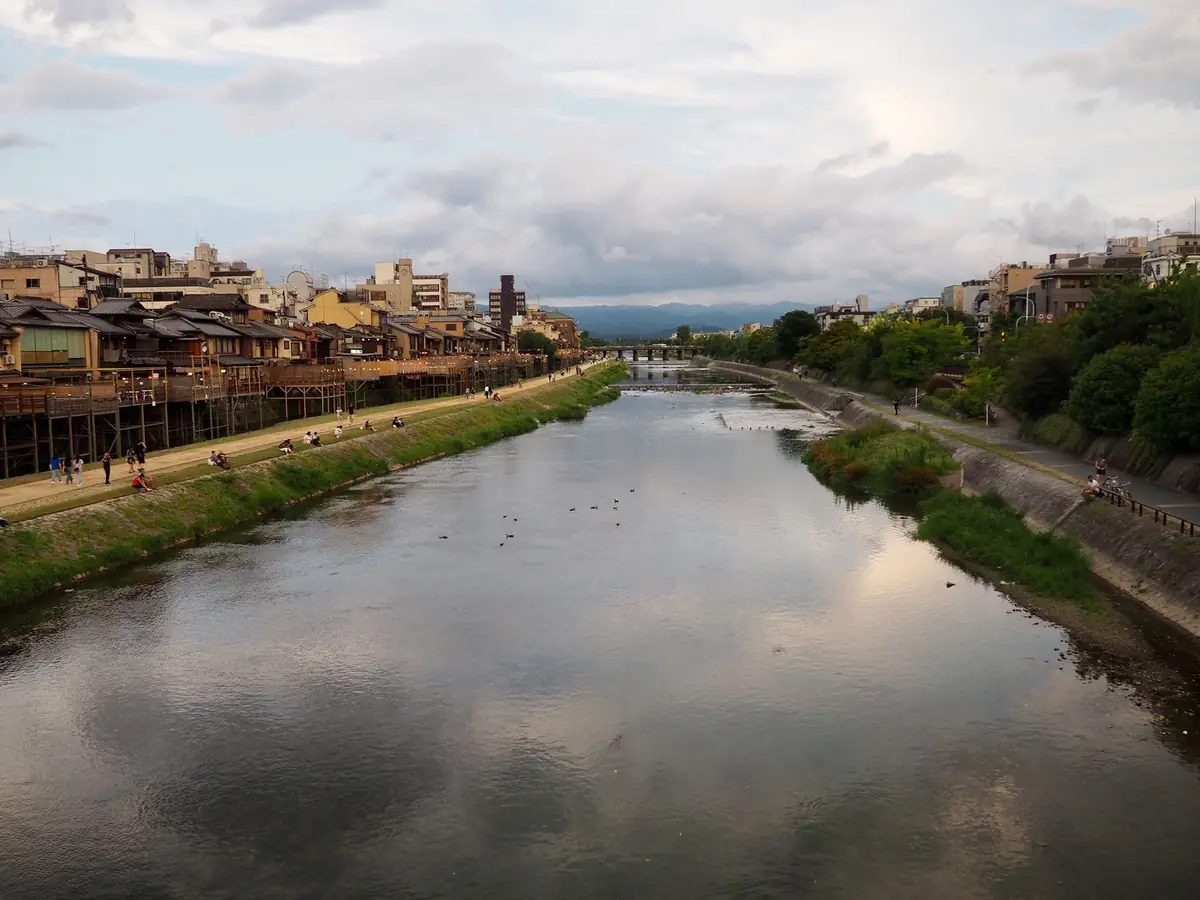
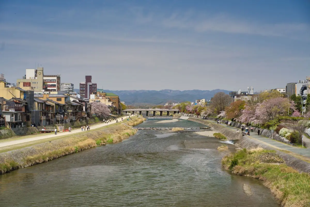
Pontocho backs straight onto the Kamo River, and after the squeeze of the lane the riverbank feels enormous. There are walking paths on both sides, a long view north to the mountains, and in the evening some of the best light in Kyoto. Below are three walks you can start from the park, from twenty minutes to most of an afternoon.
Getting down to the river
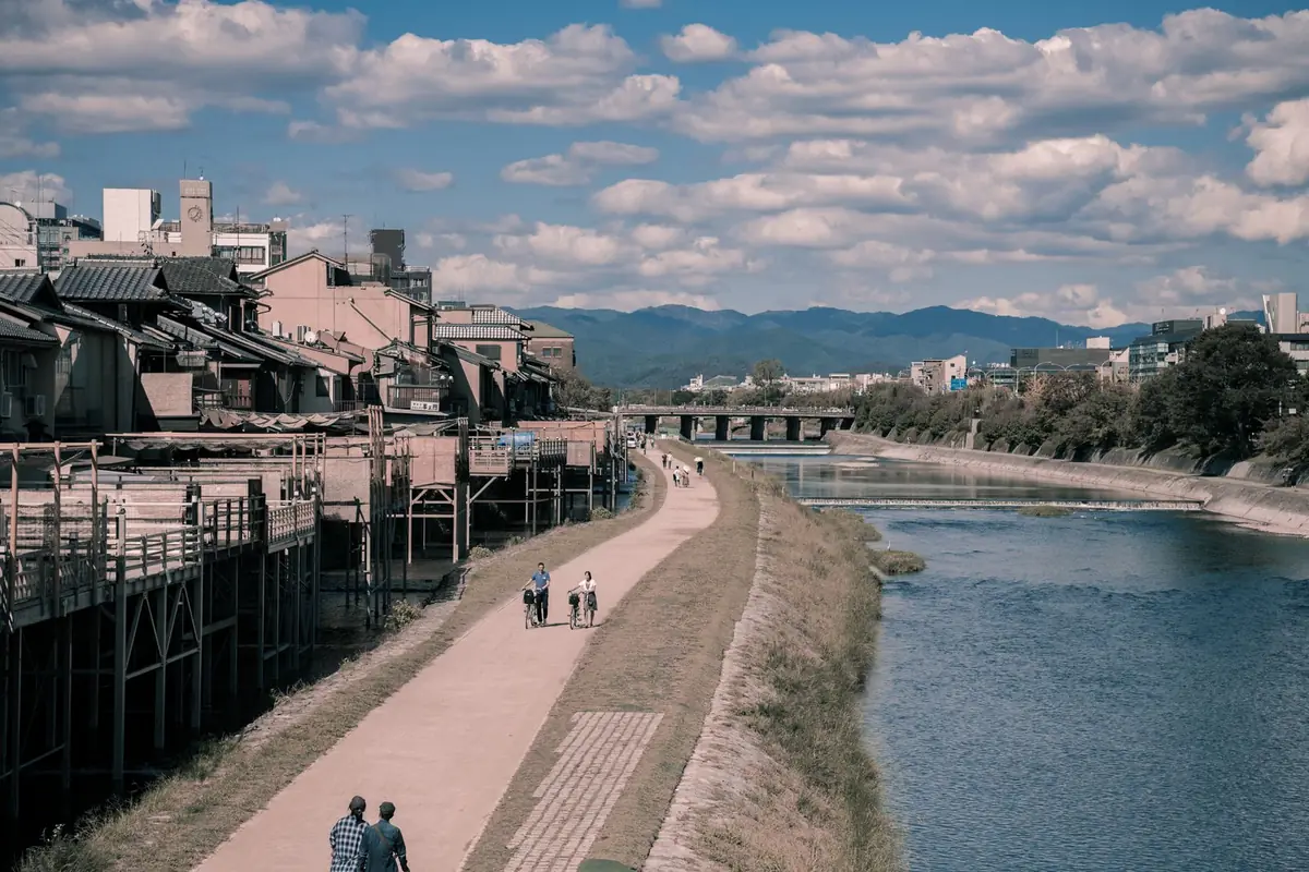
The buildings on the river side of the lane are mostly restaurants and private homes, so the simplest way down to the water is at one of the bridges. Steps lead down to the bank near the west end of both Sanjo Bridge and Shijo Bridge. Either is about five minutes' walk from the park.
Walk 1: Sanjo to Shijo and back (20–30 minutes)
This is the short loop in our sunset route. Go down to the west bank at Shijo Bridge and walk north, with the backs of the Pontocho restaurants on your left. Between May and mid-October you will be walking under the dining platforms. At Sanjo Bridge, cross over and come back down the east bank. This side gives you the full row of Pontocho buildings across the water, which is the view most people come for once the lights are on. Climb up again at Shijo Bridge; Gion is straight ahead.
On warm evenings you will see couples sitting along the west bank at oddly regular intervals. Kyoto people call it the "Kamo River equal-spacing rule": when a new pair arrives, everyone shifts along a little until the gaps even out. It is half joke, half genuine local sight, and a good reason not to plop down right next to anyone.
Walk 2: north to the Kamo Delta (40–50 minutes one way)
With more time, keep going north along the west bank past Sanjo. The buildings thin out, the banks get greener and the northern hills open up ahead. Past Marutamachi it gets noticeably quieter.
At Imadegawa you reach the place locals call the Kamo Delta, where two rivers, the Kamogawa and the Takano, meet and become the Kamo. The triangle of land at the junction is a favourite with students, families and anyone with a takeaway lunch. Rows of stepping stones cross both rivers just below it. They were put in in 1993, and a few are shaped like turtles and plovers rather than plain blocks. Hopping across is something most people do at least once. The stones are slippery when wet and are closed when the water is high.
Keihan Demachiyanagi Station is right by the delta, so you can take the train back to Sanjo or Gion-Shijo in a few minutes. Shimogamo Shrine and its old forest are a short walk to the north if you want to keep going.
Walk 3: south towards Gojo (about 20 minutes one way)
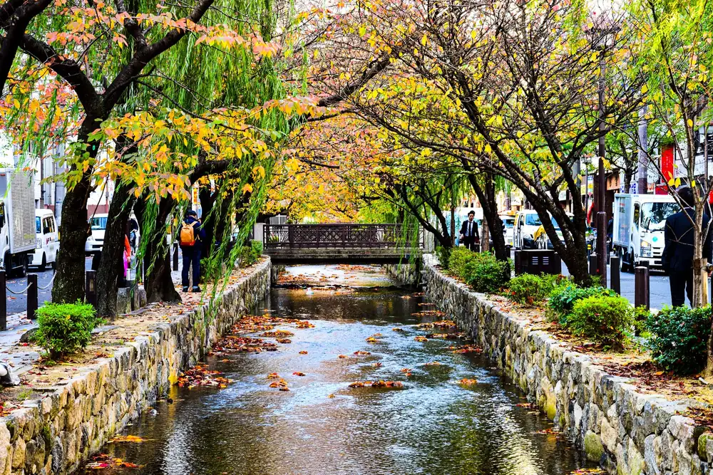
South of Shijo Bridge the bank is less crowded. The Nishi-Ishigaki and Shimokiyamachi platforms carry on for a while, and then the river turns quieter and more residential. At Gojo you can climb up and come back north along Kiyamachi beside the Takase River, which makes a pleasant loop through the old canal district.
Before you go
Mind the kites. Black kites (tobi) patrol the river and are very good at taking food out of people's hands, usually swooping in from behind. Kyoto Prefecture's own river column warns visitors about it. Keep snacks in a bag, eat sitting down if at all, and never feed the birds.
Stay off the bank after heavy rain. The Kamo can rise fast. During high water and typhoons the riverside paths and stepping stones can be closed or underwater. If the water is brown and moving quickly, walk on the street instead.
Accessibility. The riverside paths are flat and wide, much easier for wheelchairs and pushchairs than Pontocho itself. Some access points have steps only, so look for the sloping paths along the bank.
Practicalities. Cyclists share the paths. There are hardly any toilets or bins on the bank itself, so use the facilities around Sanjo or Shijo before you set off and take your rubbish with you.
When to go
Early morning belongs to joggers and herons and is cool even in summer. Late afternoon into dusk is the best time, with low sun on the eastern hills and the Pontocho lanterns coming on one by one. In spring the Takase River and parts of the Kamo banks are lined with cherry blossom; in autumn the evenings are clear and comfortable. Check the live weather before heading out.